community
Barton Creek Greenbelt Links Austin Trails and Swimming Holes
The Austin greenbelt spans more than 12 miles of trails that connect hiking paths with places to wade in the creek.
How we reported this
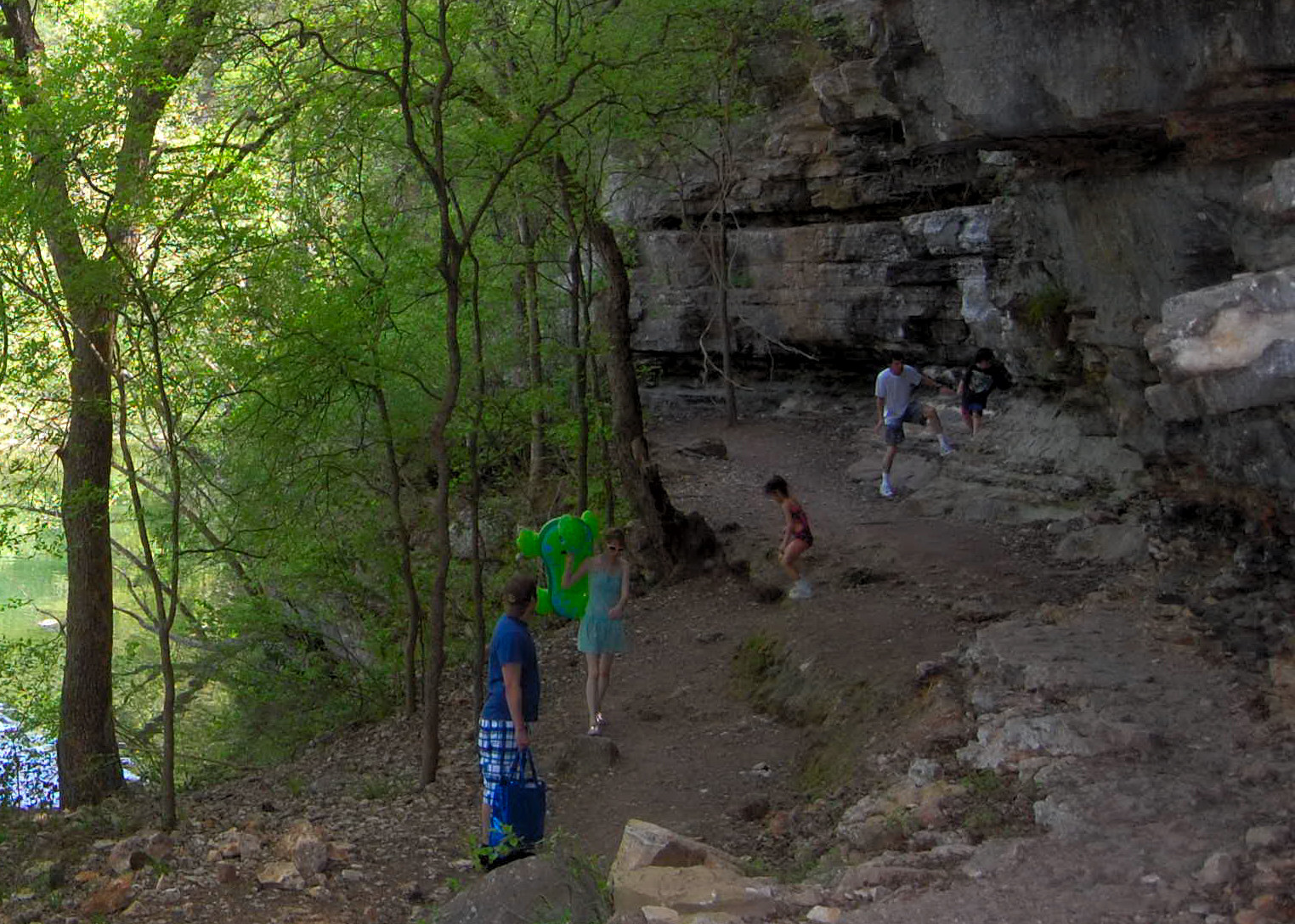
The Barton Creek Greenbelt stretches across Austin with trails that tie together hiking routes and spots for wading along the creek.
Residents often turn to this stretch of land managed by Austin Parks and Recreation when they want an easy way to spend time outdoors without leaving the city. The greenbelt sits near neighborhoods such as Barton Hills and Zilker, giving people a direct link between everyday routines and natural surroundings that include limestone cliffs and flowing water.
Trailheads listed on the department site make entry straightforward for different parts of Austin. The Zilker access sits at 2212 William Barton Dr with a parking lot and nearby restrooms. Spyglass trailhead uses street parking near 1601 Spyglass Dr and includes a composting restroom a short walk from the start. Barton Hills School Park on Homedale Dr offers free parking at the school lot, while Gus Fruh on Barton Hills Dr provides limited street parking. Farther along, the 360 trailhead at 3753 S Capital of Texas Hwy NB has its own lot and composting restrooms, and Gaines Park near Mopac gives access to Twin Falls with street parking. Trail’s End on Camp Craft Rd supplies two composting restrooms and serves as a gateway toward the Hill of Life section.
Activities along the creek
People use the greenbelt for hiking the main 7.5-mile trail, biking over rough ground, and entering the water at several swimming holes. The department notes that the area also supports several endangered species, among them the Golden Cheeked Warbler, Austin Blind Salamander, Barton Springs Salamander, and Bracted Twistflower. A trail map and list of trailheads appear on the Austin Parks and Recreation page at austintexas.gov/department/barton-creek-greenbelt, along with basic hiking tips for first-time visitors.
The greenbelt functions as a steady part of Austin life because it remains open for daily use and sits within reach of multiple neighborhoods. Locals often combine a visit with nearby parks or errands, and the variety of entry points lets walkers or riders choose shorter or longer segments depending on time and fitness. Street parking and small lots at most trailheads keep access simple, though visitors should check conditions before heading out.
Planning a visit
Anyone new to the area can start by downloading the trail map from the city site and picking a trailhead close to their starting point in Austin. The department lists parking details and restroom locations at each access so users can prepare accordingly. Regular visits help keep the greenbelt a reliable option for exercise and time near the water throughout the year.